GATEWAY TRAILS


About | The Gateway Trail network is a system of trails located adjacent to the community of Mount Shasta. It is open for hikers, joggers, mountain bikers, and equestrians.
Length: 10.7 miles of trail
Low Point: 3,920 at the trailhead
High Point: 4400 feet at the crossing of Road 40N88X
Elevation Gain: 480 feet
Difficulty: moderate for mountain bikes; easy for hikers
Directions to the Trailhead: From the I-5 Central Mount Shasta exit, travel .7 mile east on Lake Street and then follow the curve as the road becomes Everitt Memorial Highway. Trailhead is on the right just after you pass the last home and enter national forest lands.
Description and Comments: The trail begins by the kiosk in the parking area. It climbs and winds around gently for several miles before it crosses the gravel Forest Service Road 40N88X. From here you can continue on the trail or take the road back to the trailhead. Continuing, you come to the same road again at Marley Junction and have the choice of taking the Marley Trail down to the Tunnel Trail and Stellar Lane, or continuing on the Gateway. Continuing on Gateway it climbs up the side hill, then switchbacks down and up and back to Forest Service Road 40N16Y, and down to the Tunnel Trail and Steller Way (FS Road 40N24) at the Lower Tunnel Junction. If you go out via Stellar Way, note that you will be crossing private lands that lack public use easements. Otherwise, you can return to the trailhead from Lower Tunnel Junction via a variety of trail options.
History | These trails have been progressing for many years. Built by Trail Labs Co.
SISSIAN CALLAHAN
About | Sissian Callahan is a local favorite and a full day of adventure. Even with a shuttle, the start is a huffer & puffer. The down has some of the best views and rock gardens in the valley. The Sisson Callahan National Recreation Trail can be accessed from Deadfall Meadows Trailhead or Bear Creek Trailhead. Both trail access points have hike-a-bike uphills, multiple stream crossings, and world-class views. The downhill ends at the North Fork of the Upper Sacramento River which must be crossed and then meets a fire road that takes riders down to Lake Siskiyou. Lake Siskiyou is 3 miles from downtown Mt Shasta.
Length: 3 Miles up ( add a mile if going to Mt. Eddy Summit) 8 Miles down
Low Point: 6457 at the trailhead, ends at 3553.
High Point: 9019 at Mt. Eddy Summit, 7992 at the saddle
Elevation Gain: 1573 feet
Elevation Descent: 5667 from the summit
Difficulty: Difficult
Directions to the Trailhead: Google Directions here.
Description and Comments: Amazing backcountry trail that takes you up through several streams and past some high alpine lakes to the base of Mt Eddy. From here you can choose to go up and check out the summit of continuing onto the lower part of Sisson Callahan trail.
Steep technical climbs throughout this section of the trail, but it’s worth it.
History | This trail used to be the main route to a small miners’ town. This trail was used for decades as a trade route.
LAKE SISKIYOU TRAIL


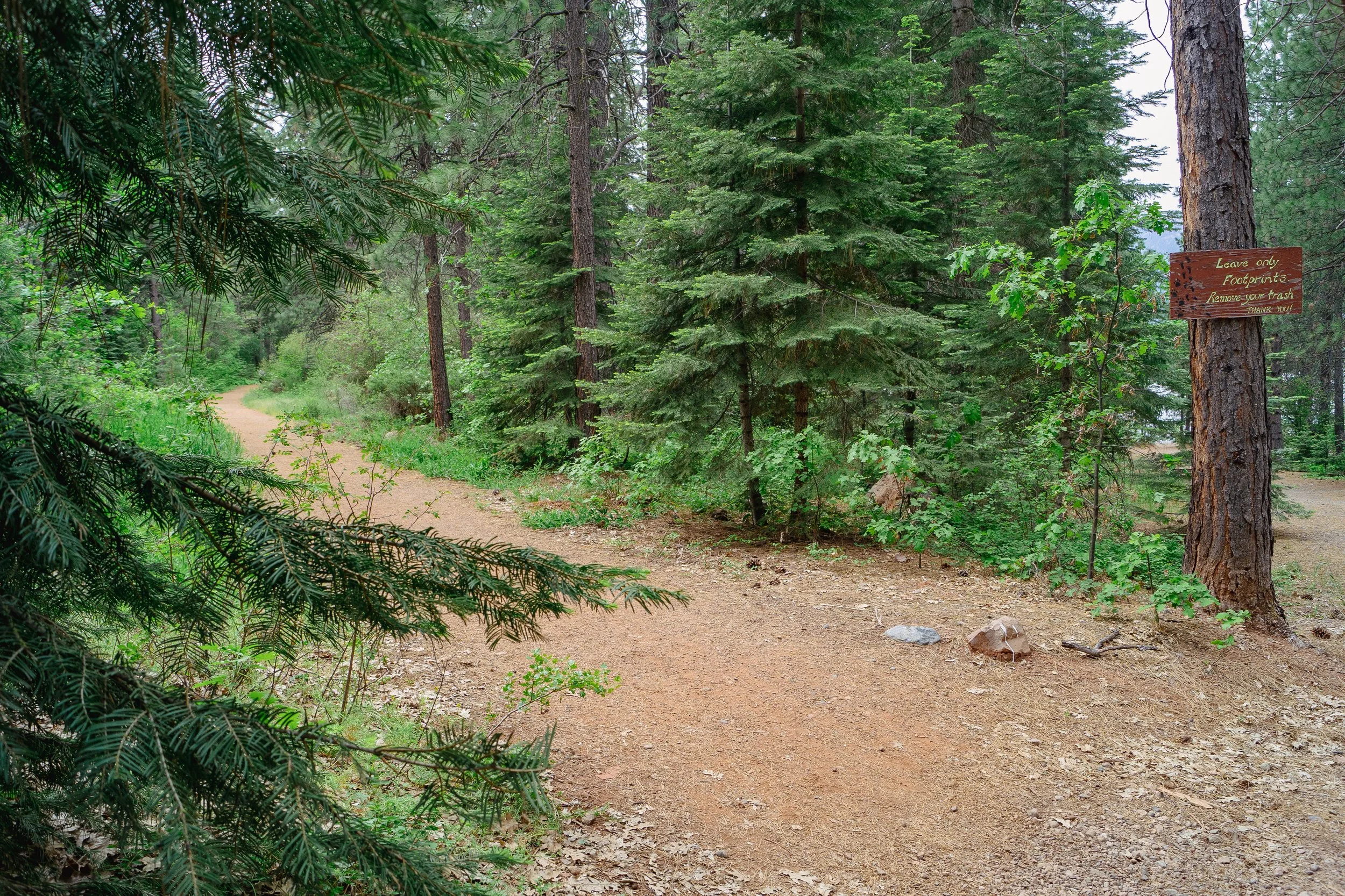


About | North Shore Trail is a 6.5-mile popular green singletrack trail. This multi-use trail can be used in both directions and has an easy overall physical rating with a 166 ft green climb. On average it takes 2 hours to complete this trail.
Length: 6.5 Miles
Low Point: 3188 feet
High Point: 3275 feet
Elevation Gain: 166 feet
Difficulty: Easy
Directions to the Trailhead: Google Directions here.
Description and Comments:
History |
SHASTICE BIKE PARK


About | Shastice Bike Park offers two practice lines, an intermediate and advanced line. There is a one-way uphill trail to access the top of these lines. This mountain bike-only trail can be used downhill only and has an easy overall physical rating. On average it takes 1 minute to complete this trail.
Length: 1207 feet
Low Point: 3738 feet
High Point: 3802 feet
Elevation Gain: 99 feet
Difficulty: Moderate to Advanced depending on the line chosen.
Directions to the Trailhead: Google Directions here.
Description and Comments:
History |